
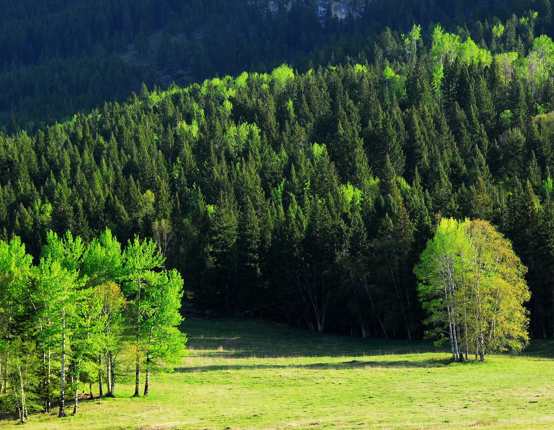
Poison Lake Forest
Canada – Yukon Territory
48,000 hectares / 118,610 acres
Completed: February, 2024
Tesera delivered a High Resolution Inventory Solution (HRIS) for Poison Lake forest properties. This HRIS inventory will serve as the basis for determining current forest structure, inform forest management and to model forest changes over time.
The Poison Lake forest property area of interest (AOI) covers ~48,000 hectares, located ~350 km east of Whitehorse, Yukon. The AOI experienced a wildfire in 2017 that burned approximately ~17,000 hectares.
The HRIS inventory is an area–based inventory that models the relationships between compiled target attributes measured on ground plot units, with characteristics (features) derived from land base coverage data (LiDAR and multiband imagery) within those plot units. Those same characteristics are derived for analysis units, of similar size to the plot units, that seamlessly cover the entire land base. The derived models are then used to predict the target attributes on each analysis unit. The analysis units were then rolled up (aggregated) to reporting units..
Tesera delivered a geospatial polygon dataset for use by the Yukon Forest Management Branch that will significantly improve the resolution and accuracy of forest landscape, stand and tree level attribute data. These inventory data improvements will also enable the development of sustainable forestland management plans and activities, carbon offsets (sequestration and abatement), optimize harvest scheduling plans and activities, as well as support watershed protection, enhance wildlife corridors and protect endangered and vulnerable species.
