
Sky Harvest Carbon Project
USA – Virginia and North Carolina
24,280 hectares / 60,000 acres
Compelted 2023 / 2024
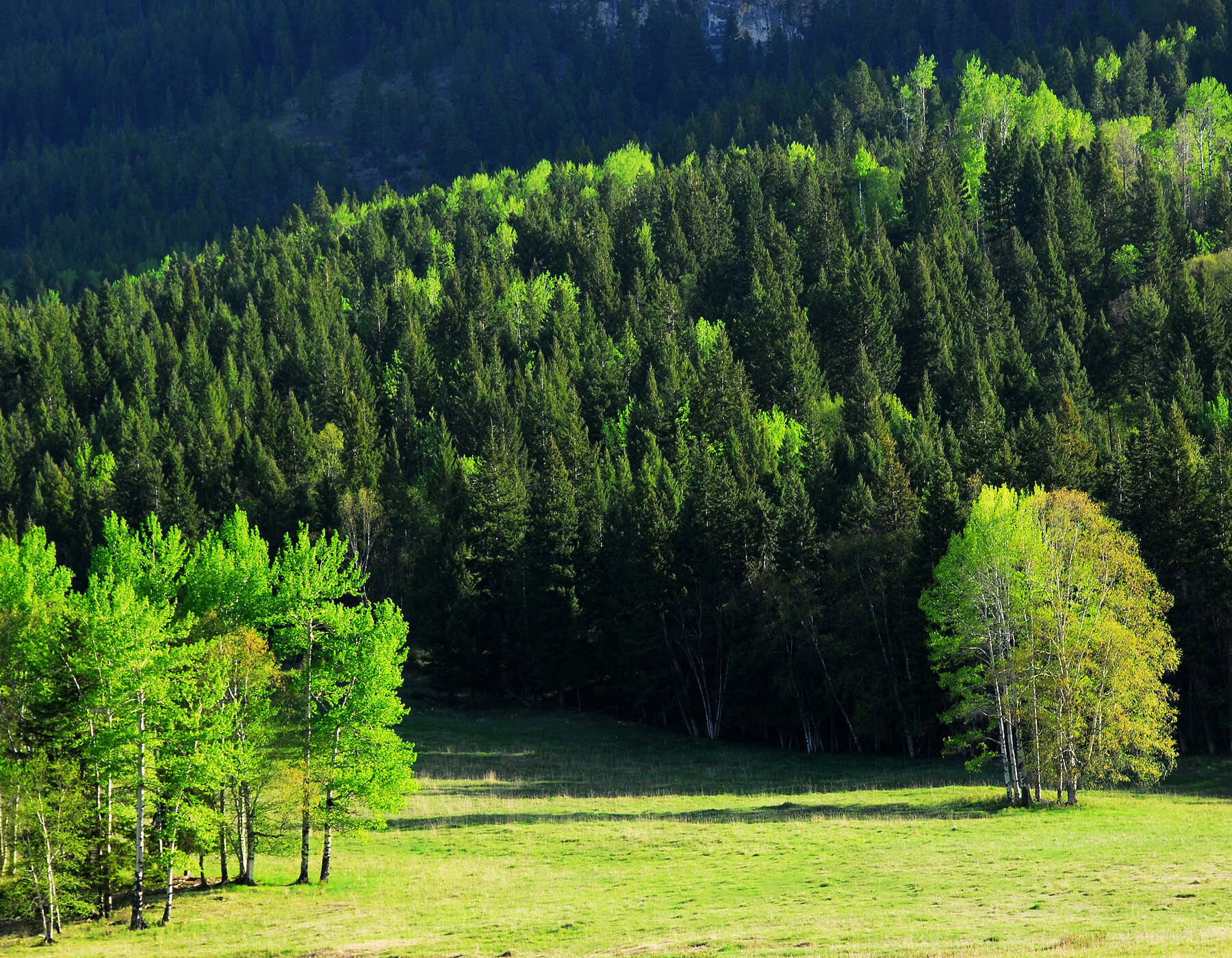
Tesera developed a High Resolution Inventory Solution for Sky Harvest who create and sell carbon credits to offset greenhouse gas emissions. The 'multi-phased' project property boundary covers an area of interest (AOI) of 60,000 acres, situated in Virginia and North Carolina. The forest properties are geographically dispersed, resulting in a project processing area of over 800,000 acres.
Sky Harvest is a project developer in the voluntary carbon market working exclusively with small-acreage and underserved timberland operators in the United States to generate carbon credits. More importantly, Sky Harvest is voluntarily issuing credits under the Carbon 2.0 framework, which requires fewer credits issued, but ensures that each credit issued properly and completely offsets the negative climate impact of emissions elsewhere.
Tesera delivered Sky Harvest a geodatabase that will significantly improve the resolution and accuracy of their forest landscape, stand and tree level attribute data (including size, species composition and density of trees). This information is crucial for accurately quantifying the carbon sequestered by the forest. These inventory data improvements will enable a comprehensive assessment of the biomass and carbon stocks present in a given forest. The forest inventory will also enable the establishment of a baseline, providing a starting point for assessing the impact of conservation or sustainable management practices.
“Thank you for the great work on this project. It's incredible the level of detail and accuracy that can be achieved with the HRIS technology. A lot of folks in the space are talking about this, it was a joy to find someone who has done it. Well done!"
Will Clayton - Founder and CEO, SkyHarvest Carbon (USA)
