ClimeCo / CNX Project
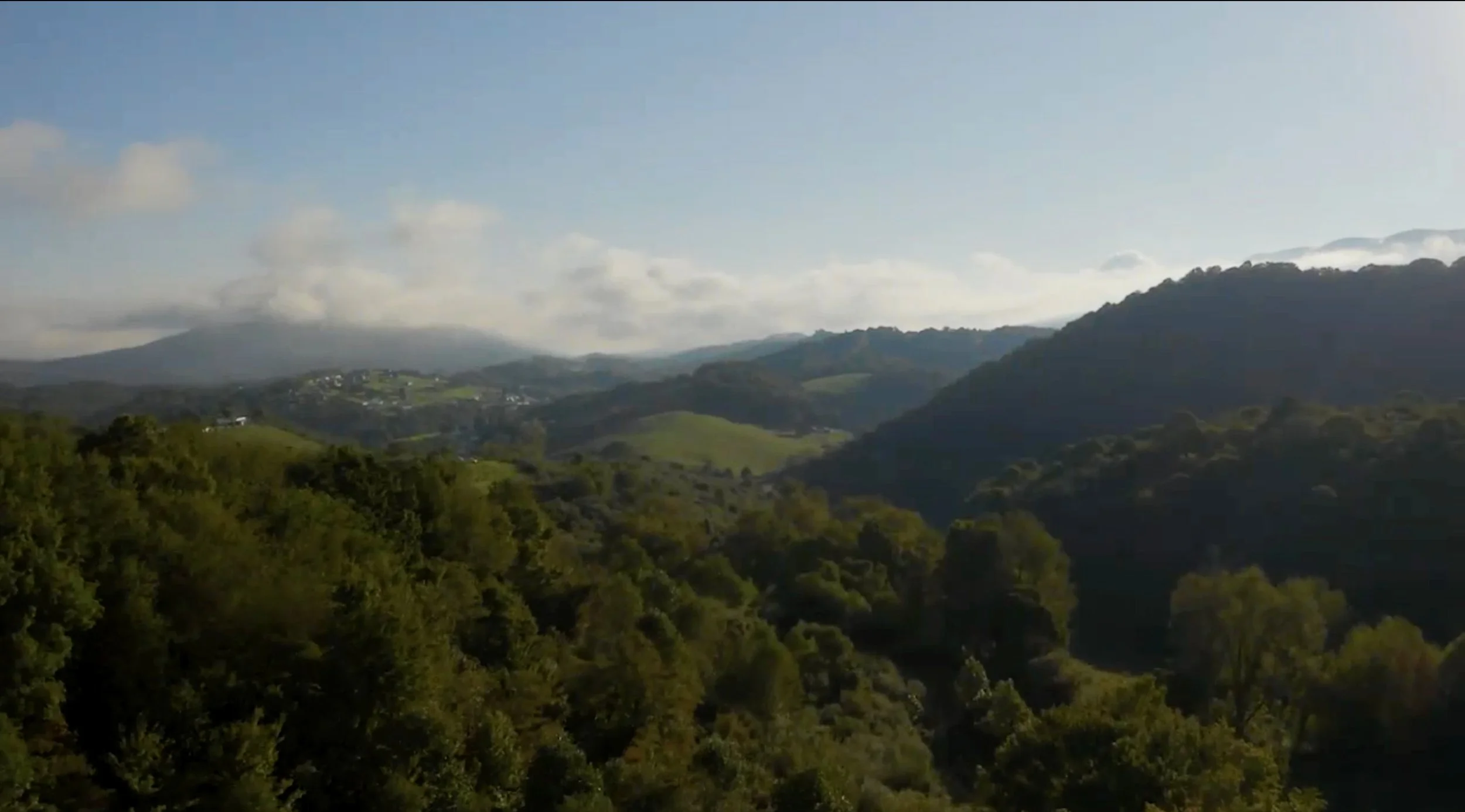
USA – Appalachian region of Virginia
42,000 acres - Completed December, 2023
Tesera developed a High Resolution Inventory Solution for ClimeCo and CNX Resources Corporation (CNX).
The project’s property boundary covered an area of interest (AOI) of 41,714 acres, situated in Buchanan and Tazewell counties (Appalachian region of Virginia). The total data coverage area consisted of over 55,000 acres. The forest properties are geographically dispersed, resulting in a project processing area of ~200,000 acres.
Tesera delivered a geodatabase for use by ClimeCo and CNX that will significantly improve the resolution and accuracy of forest landscape, stand and tree level attribute data. The HRIS inventory contained over 88,000 reporting units, having an average size of 0.5 acres. The HRIS inventory will serve as the basis for ClimeCo determining forest carbon stocks, carbon offsets (sequestration and abatement), and will be used to model forest changes over time. It will also provide a reliable approach to support other carbon credit projects, ensuring their credibility and adherence to established standards and regulations.
“We recently engaged the Tesera team to help us prepare an inventory for a 40,000 acre forest property in support of a carbon project. I was very impressed with quality of the product provided. They listened carefully to our needs and expectations and delivered an exceptional inventory product on time and with detailed step-by-step documentation.
We found the Tesera team to be well versed in the latest remote sensing technologies and data sources. With their extensive experience, they were able to work with less than ideal data to prepare a product that we feel highly confident in using as a foundation for our project. Moreover, the team were a pleasure to work with and were very accommodating of our need for flexibility. I will definitely be using their services for future work."
Brad Seely - Vice President, Nature-Based Solutions, ClimeCo (USA)

