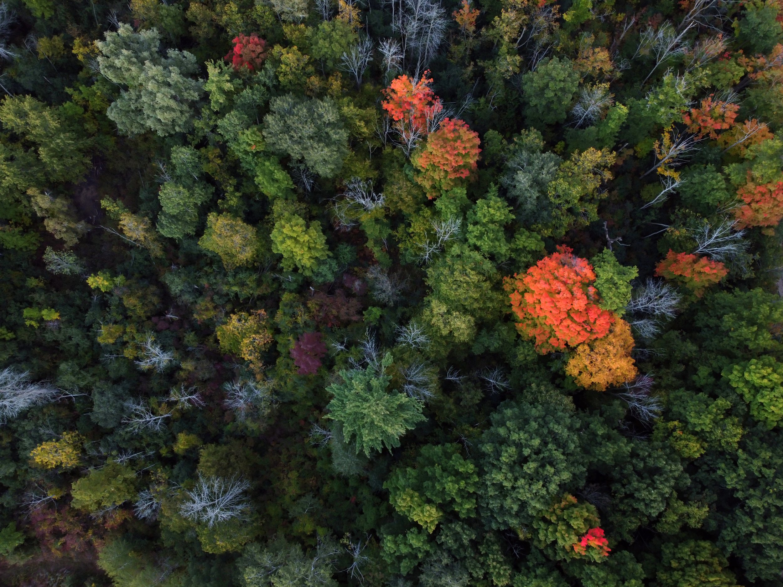
Video: HRIS Introduction
A high-level overview of the various steps used to develop a High Resolution Forest Inventory Solutions (HRIS) of Perimeter Forests - Painted Forest - located near the Montreal River Land area, about 80 km northeast of Sault Saint Marie, Ontario.
The HRIS project delivered a geospatial polygon dataset that will significantly improve the resolution and accuracy of forest landscape and stand level attribute data for use by Perimeter Forest. See how Perimeter Forest was able to incorporate their HRIS inventory into an intuitive map viewer of their Painted and Taiga Forests.
These inventory data improvements will also enable the development of sustainable forestland management plans and activities, carbon offsets (sequestration and abatement), optimize harvest scheduling plans and activities, as well as support watershed protection, enhance biodiversity, wildlife corridors and protect endangered and vulnerable species.
